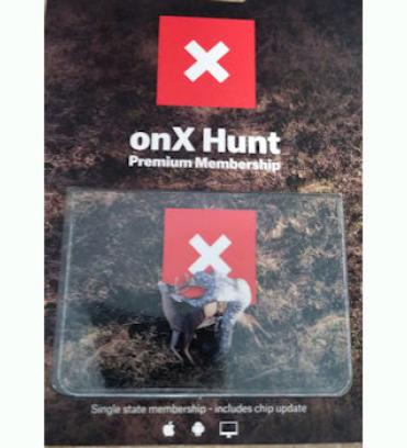
OnXmaps Premium Membership
Download onto your smart phone or tablet.
Color-coded public and private land ownership boundaries allow you to quickly and easily find accessible public land, private property, and land ownership information including names and tax addresses
Customizable Waypoints, Lines, and Tracks will help you map out every detail of your hunt. Whether you’re hiking to your favorite glassing point in the dark, exploring all new ground, or chasing a bugle in the dark timber the onX Hunt App has tools for every aspect of your hunt.
No service needed. Save detailed maps of the areas you plan to hunt to ensure you always have the tools you need at your fingertips, with or without cell phone service.
Understand the lay of the land like never before with high-resolution aerial imagery, the Hybrid Basemap (a combination of satellite imagery and a 1:24k topographic map), or detailed topography.

