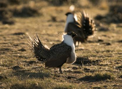
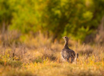
Sage-Grouse Data
Access resources including sage-grouse core area maps and shapefiles. For sage-grouse data, please submit a public records request: wgf.inforequest@wyo.gov
Sage-grouse core area maps and shapefiles
Sage-Grouse Core, Connectivity, and Winter Concentration Area Map with Names - Version 4
Sage-Grouse Core, Connectivity, and Winter Concentration Area Map - Version 4
Core Management Areas - Version 4 - Shapefiles
Core Management Areas - Version 4 - UTM Zone 12 NAD 1983 - Shapefiles
Shapefiles Sage-Grouse Connectivity Areas – Version 4 – Shapefiles
General Sage-Grouse Habitat 2015 - Shapefiles
Historic Sage-Grouse Habitat 2015 - Shapefiles
Sage-Grouse Winter Concentration Areas v. 4 - Shapefiles
Transmission Corridors Through Sage-Grouse Core Areas