
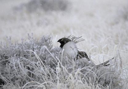
Sage-Grouse Management
Learn what Game and Fish is doing to help protect this important species and their habitat.

Sage-Grouse Executive Order
View the State of Wyoming's Greater Sage-Grouse Executive Order documents, federal agency publications and other implementation documents.

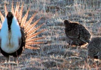
Sage-Grouse Lek Viewing Guide
While sage-grouse require sagebrush landscapes to survive, leks are often located in open areas where the males can be better seen and heard by females.
Density Disturbance Calculation Tool
The Density and Disturbance Calculation Tool (DDCT) is a spatially based application that calculates the number of disruptive activities averaged within the DDCT assessment area.
Sage-Grouse Local Working Groups
The Sage-Grouse Local Working Groups are comprised of representatives with local interests such as agriculture, industry, and conservation.
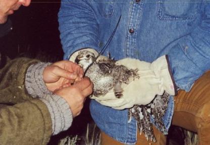
Sage-Grouse Data
Utilize the interactive map of existing sage-grouse core areas and access resources including core area maps and shapefiles.