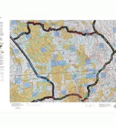
WY. Deer Hybrid Map
Over the years this has been our #1 requested map. This year, we used 5 different software processes to create the Wyoming Elk Hybrid map. This map is built on our new Land Ownership maps. We then overlay a 7.5 minute (Quads) road layer from the USGS, add National Forest Roads, add lakes and streams from the USGS and then add Wyoming Parks and Wildlife summer, winter, and resident herd, migration routes and corridors for elk.
This map has it all. It’s printed on our rugged map fabric. The fabric has a translucency that brings the colors and information to life.

